The main highways leading to this picturesque, two-to-three-hour drive from the San Francisco Bay Area are Highways 108 and 120 from the west (the latter considered to be the most scenic and direct route to Yosemite National Park) and Highway 49 from the north.
From the San Francisco Bay Area:
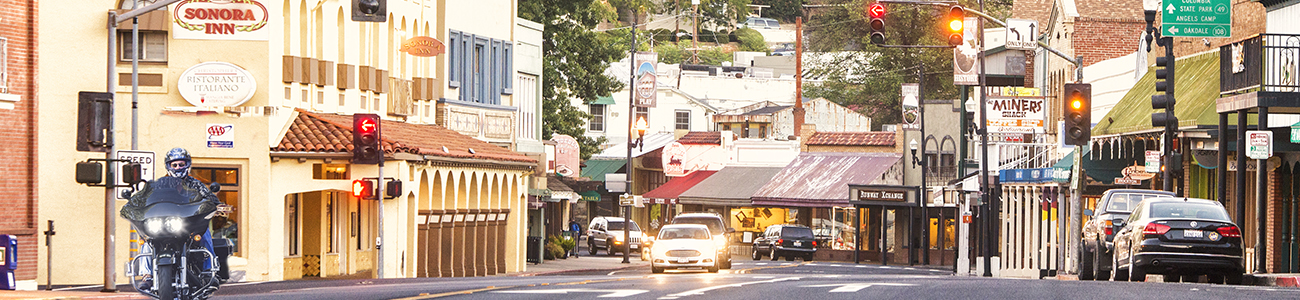
Mileage and time (according to Google Maps) to Sonora, county seat of Tuolumne County and home to many hotels and historic inns:
From San Francisco: 132 miles (213 km), 2 hours and 31 minutes
From San Jose: 129 miles (209 km), 2 hours and 29 minutes
From Oakland: 124 miles (199 km), 2 hours and 15 minutes
From Dublin/Pleasanton: 98 miles (157 km), 1 hour and 54 minutes
From the Sacramento Area:
From Los Angeles/Southern California:
GPS
Using GPS devices or apps isn't advised in this area. Map out your trip before you go.
Public Transportation:
Transportation from the towns of Tuolumne, Sonora, Jamestown and Groveland to Yosemite National Park is available on YARTS from mid-May through early-September.
Transportation to Tuolumne County from airports in San Francisco, Oakland and Sacramento and the AMTRAK station in Modesto may be arranged through Mother Lode Adventure Charter Services.
Vehicle Charging Stations:
View a list of some of the vehicle charging stations here.
WINTER TRAVEL
Highway 120 is open year-round between Tuolumne County destinations and Yosemite National Park and into Yosemite Valley.
Both Tuolumne County mountain passes, Sonora Pass (Highway 108) and Tioga Pass (Highway 120 east in Yosemite) are closed in the winter. Although closing and opening dates vary by season; the two routes are generally closed mid-November through mid-May or early June. Alternate routes over the Sierra Nevada include Highway 88 or Highway 50 to the north or Highway 58 to the south.
It is always advisable to carry chains in the mountains during the winter. Tire chains are available at Yosemite Adventure Supply in Groveland (along Highway 120) and in auto parts stores in Sonora for Highway 108 travel.
Visit the CalTrans website to find up to the minute travel information on Highways 108 and 49. For Highway 120 and Yosemite National Park road conditions, call 209-372-0200 option #1, then #1.